
Use Cases · Case Study
A city doesn’t have one gate to secure or one building to manage — it has thousands of vehicles, public spaces, and streets, all at once. Here’s how four Collie modules combine into one connected platform across public infrastructure.
The Site
Public infrastructure spans a scale no single facility does — thousands of vehicles moving through streets and car parks, foot traffic through plazas and transit hubs, and air quality that varies block by block. No one team can watch it all in person, and a citizen’s expectation of safety doesn’t come with a fixed perimeter.
This is the profile Collie is built to scale to: the same modules that run a single site, deployed consistently across an entire city’s worth of cameras, sensors, and gates.
The challenge
Vehicle flow, parking occupancy, and violations were tracked separately, if at all, making city-wide traffic planning a matter of guesswork.
Plazas, stations, and event grounds could fill past a safe density before anyone official noticed.
A public safety team can’t watch every camera across a city in real time without a system doing the first pass of triage.
The Deployment
Each module runs independently across the city, but all four report into the same Collie dashboard.
Every vehicle passing a gate, entering a car park, or crossing a monitored zone gets its plate read, logged, and checked automatically.
Public plazas, transit stations, and event grounds are read for both foot traffic and density, catching overcrowding before it becomes a hazard.
Sensors placed across the city track pollutant levels continuously, giving planners a live picture instead of periodic spot-checks.
Public cameras run the same detection library used across Collie — restricted-zone intrusion, incidents, and unattended objects — turning footage into triaged alerts.
How it comes together
The same loop that runs across all of Collie, applied at city scale.
Cameras and sensors across the city report continuously — vehicle plates, crowd density, air quality, and camera events.
Each module applies its own rules — a speeding vehicle, an overcrowded plaza, a pollutant crossing its threshold.
The right team gets an alert immediately, and every event — across all four modules — lands in one city-wide dashboard.
What changes
Not a single big number — a set of improvements that compound across thousands of daily interactions.
TRAFFIC
Vehicle and parking data feed planning decisions instead of guesswork.
PUBLIC SPACE
Density alerts give staff time to redirect flow before a space becomes unsafe.
AIR
Continuous readings replace periodic checks across the whole city.
SAFETY
A small public safety team can effectively watch a citywide camera network.
A Smart City deployment doesn’t run different software from a single office or factory — it’s the same ANPR, crowd detection, air quality, and video analytics modules, connected across many more cameras and sensors, reporting into one platform rather than one dashboard per district.
Where robots fit
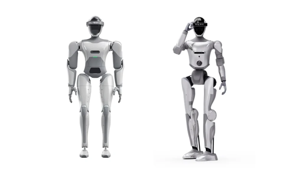
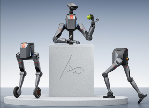
Public spaces have gaps that fixed cameras don’t reach — a Collie robot on patrol can carry vision and sensing through parks, plazas, and pedestrian areas, extending the same detection library to spaces that don’t have a lamppost to mount a camera on.
Tell us about your infrastructure — what’s already connected, and what still runs on manual checks — and we’ll map out which modules fit.